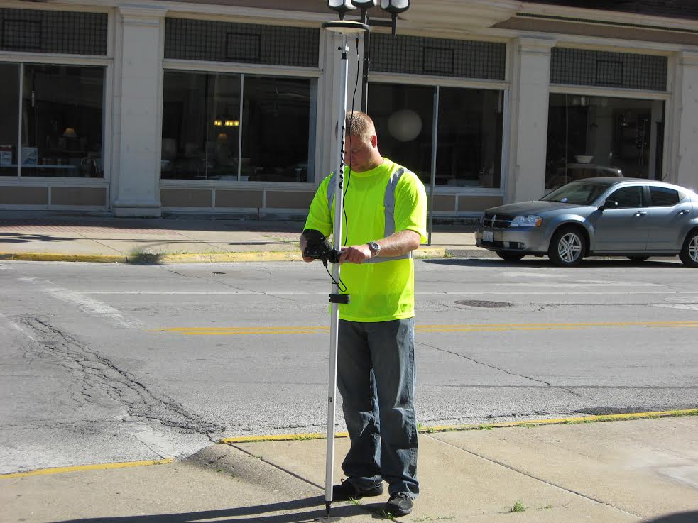
Data collection is vital to the accuracy of any GIS project. Collecting new data and the maintenance of existing data are fundamental tasks for any organization which requires spatial data. The use of Global Positioning Systems (GPS) technology to acquire geographic coordinates, coupled with the ability to capture attributes, can benefit an organization’s spatial data needs. Whether the need is building a database from inception or updating an existing database, GPS data collection provides the accuracy and reliability needed for your GIS project.
Mid-West GIS has the ability to collect Sub-Centimeter accurate GPS data. This is survey grade GPS equipment that can increase the accuracy level of your existing GIS data, or can be used to develop a highly accurate base for your new GIS. Mid-West GIS has worked with a wide range of industries, from rural counties to large cities, to deliver accurate GPS data collection solutions. By understanding our client’s needs, we are able to provide unparalleled service with proven results.
 Our services include:
- Locate Underground Infrastructure
- GPS Data collection (Pre Construction)
- Real Time Kinematic RTK Data Collection
- Sign, Road, Bridge & Culvert Inventory
- Water, Wastewater, Electrical & Gas Mapping
- Rural Addressing
- Enhanced 911 Services
- Well site locations
- Structure Locations
- Road surface types, and “pot holes”
