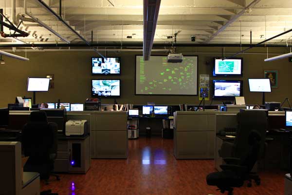
Mid-West GIS was contracted in 2013 by Central County 911 in St Louis, Missouri to verify and correct addressing for approximately 3,500 linear miles of road centerlines. The Central County 911 Dispatch Center was taking over calls for both South County and North County, as those call centers were being closed. Therefore there was an extremely tight deadline for the data to be delivered so it would be tested and in place as they took over.
The project involved taking existing centerline data and adjusting not only the positional accuracy, but many of the addressing attributes as well. While there was some reference data that was useful, the project required GIS personnel to drive and physically verify every segment and every address in the project area. The entire project took approximately eight months, and was delivered on time and on budget. The data is now being fully implemented and used by Central County 911 for dispatching emergency calls.
“I have had the pleasure of working with Shane and his team at Midwest GIS on a large scale mapping project for Public Safety. Not only did they deliver high quality GIS data and services, but the team was very effective at understanding the specific needs of the project and meeting goals for both budget and timeliness. Their many years of direct experience and keen understanding of the challenges that come with leveraging GIS-based data helped guide the process and ensure that the data was reliable and put to good use. If you are contemplating any type of GIS project, I recommend that you reach out to Shane and avail yourself of his in-depth knowledge and experience to reach your goals! I can’t wait for the next opportunity to work with the Midwest GIS team!” Colleen Dealey, Project Manager.