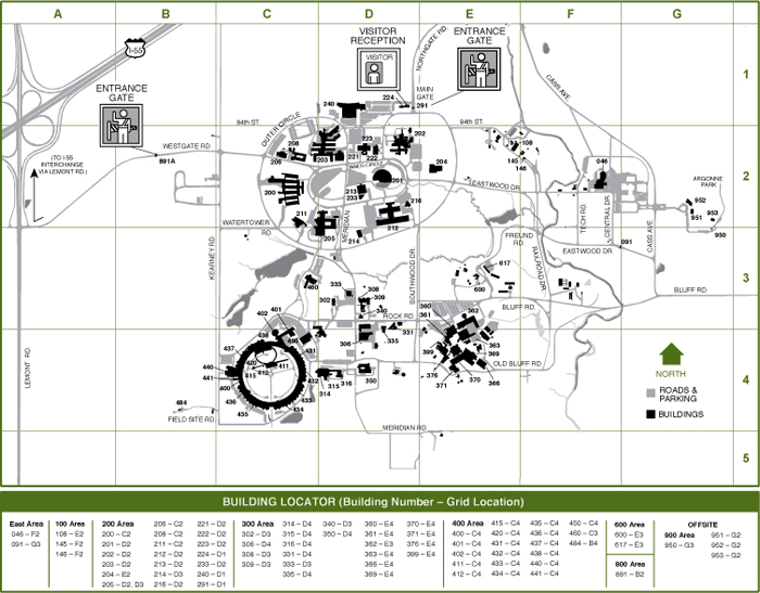
Argonne National Laboratory has contracted with Mid-West GIS to create GIS data layers for both their Steam Distribution System and Building Footprints. Both data layers will be collected in the field using Real Time Kinematic (RTK) GPS equipment, as well as the conversion of existing GIS and CAD data. Argonne National Laboratory is a multidisciplinary science and engineering research center located in Lemont, Illinois. This project is expected to start immediately and be completed in the Fall of 2014.
GPS
Mid-West GIS has completed Phase II of the Portage, Indiana Storm Sewer Mapping Project.
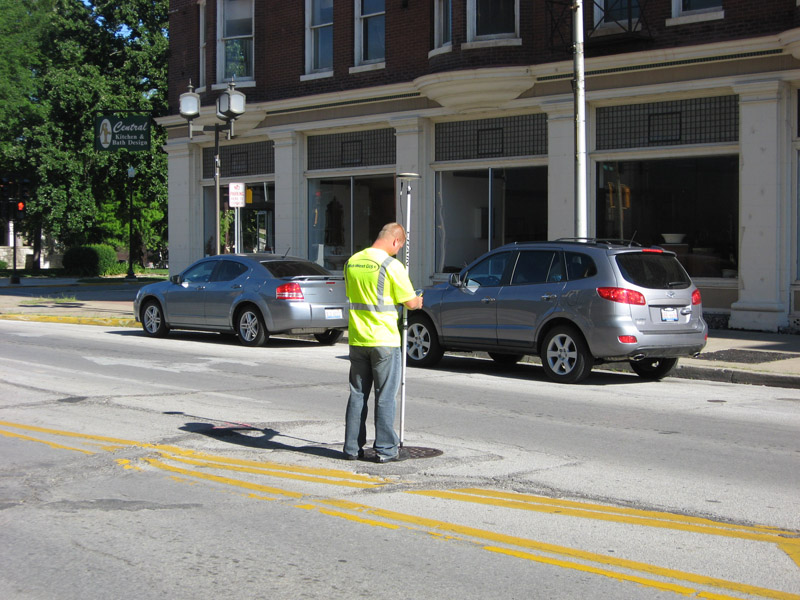
Mid-West GIS has completed Phase II of the Portage, Indiana Storm Sewer mapping project. Field collection is completed for over 4,000 surface features using Real Time Kinematic (RTK) GPS, which delivers sub-centimeter accurate GPS data. The data collection includes features such as storm inlets and manholes, including the invert elevations. This project is being done as part of a joint effort with The Sidwell Company out of St Charles, Illinois. Phase III of the project, once approved, would be the completion of the field collection for the entire storm sewer system.