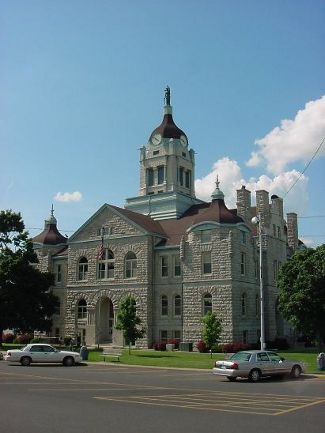
The Lawrence County Missouri Assessors office has contracted with Mid-West GIS to develop a digital photo application that will integrate with their existing parcel data layer.
The project will include the development of the data layer using the county parcel data as the base data. Field technicians with take digital photos of the front of each structure in all incorporated areas in the county including residential and commercial locations. These photos will be hyperlinked to the GIS data and incorporated in the county parcel geodatabase. It is estimated there will be more than 4,000 structures captured in the county.
Work on this project has already begun and will be completed by the fall of 2017.

