The City of Pampa, Texas GIS project is a complete GIS Data Conversion project. The City started off with no GIS system at all. The City budgeted for aerial photography and GIS data conversion services for 2008.
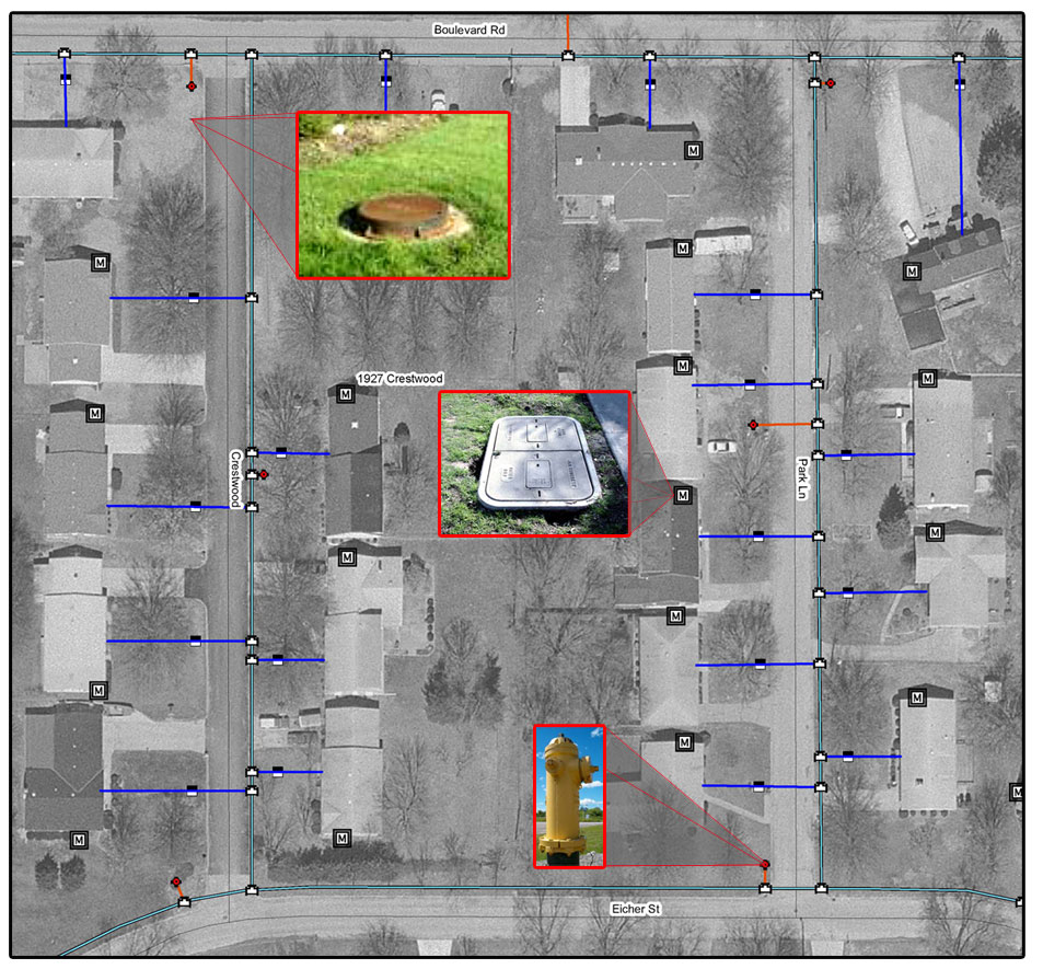
The first phase of the project, which started in February 2008, was to collect all Water Meters, Valves, Hydrants, Manholes, Sewer Inlets, Street Signs, and Trash Dumpsters with GPS equipment.
The second phase of the project was to convert the water and sewer lines into a digital format using the aerial photography and the GPS data collected in the first phase. Associated attributes are also added as the data is converted.
The final phase if the project is to install the software and data at the client site, and perform training necessary for the client to properly utilize the new GIS system.
Project Contact:
Donny Hooper Assistant Public Works Director