Mid-West GIS Starts Phase III of a GPS Project for Portage, IN

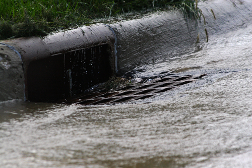
Mid-West GIS will begin Phase III of the Storm Sewer GPS mapping project for the City of Portage, Indiana next week. This project includes Survey Grade GPS data collection as well as a detailed inventory of the attributes of the system. Invert elevations are also collected to determine flow direction used for flow analysis by the City. It is estimated approximately 6,000 points will be collected by the end of the project, with 4,200 already completed.

Mid-West GIS Starts Phase III of a GPS Project for Portage, IN


Phase III of the Portage, Indiana Storm Sewer mapping project has been approved

Phase III of the Portage, Indiana Storm Sewer mapping project has been approved and will move forward immediately. This project entails the collection of all storm sewer features using Sub-Centimeter accurate GPS equipment, also known as Real Time Kinematic (RTK) GPS Collection. Storm sewer manholes are also opened and inspected for items such as depth and flow direction. This phase of the project will complete the entire system which will be used by the Public Works Department for daily maintenance work.

Learn More Request An Estimate!

Indiana Storm Sewer mapping project