Mid-West GIS has proud to welcome Thomas Felsmaier to our workforce. Thomas has a degree in Geography from the University of Florida. His primary responsibility will be GPS data collection in the field, and converting that data into GIS databases in the office.
Mid-West GIS has been contracted to collect GPS data of billboards along Highway 63 in Adair County, Missouri.
Mid-West GIS has been contracted to collect GPS data of billboards along Highway 63 in Adair County, Missouri. Attributes of the billboards, along with digital photos, will be incorporated into an ESRI Geodatabase for use in the existing County GIS System.
DeWitt County, Illinois has selected Mid-West GIS to create a sign inventory for the County and Township roads.
DeWitt County, Illinois has selected Mid-West GIS to create a sign inventory for the County and Township roads. GPS technology will be used in the collection of all signs, as well as specific attributes that are collected in the field. This data will be incorporated into a GIS and delivered to the County to be used as the official sign inventory.
Mid-West GIS has been awarded a contract by the Jersey County Highway Department to collect GPS data and digital photography for bridges and culverts on County maintained roads.
Mid-West GIS has been awarded a contract by the Jersey County Highway Department to collect GPS data and digital photography for bridges and culverts on County maintained roads. The data will be incorporated into exisitng GIS information created by Mid-West GIS in 2008 that included a GPS Sign Inventory.
Mid-West GIS has hired Tara Seiler to fill the position of GIS Account Manager.
Mid-West GIS has hired Tara Seiler to fill the position of GIS Account Manager. Tara is a graduate of the University of Wisconsin – LaCrosse and will work out of Wisconsin Dells. Tara will be responsible for the development of business opportunities as well as client support for the areas of Wisconsin, Minnesota, Michigan, Northern Illinois, and Northern Iowa.
Denise Averill has lost her battle with cancer in Corpus Christi, Texas on December 7, 2008.
Denise Averill has lost her battle with cancer in Corpus Christi, Texas on December 7, 2008. Denise was an original employee of Mid-West GIS, and assisted with the founding of the company in the Spring of 2007. We will all miss her, and the life that she brought to our office as we were opening the doors. We would not be where we are today without here. God bless her soul.

City of Pampa, TX GIS Data Conversion

The City of Pampa, Texas GIS project is a complete GIS Data Conversion project. The City started off with no GIS system at all. The City budgeted for aerial photography and GIS data conversion services for 2008.
The first phase of the project, which started in February 2008, was to collect all Water Meters, Valves, Hydrants, Manholes, Sewer Inlets, Street Signs, and Trash Dumpsters with GPS equipment.
The second phase of the project was to convert the water and sewer lines into a digital format using the aerial photography and the GPS data collected in the first phase. Associated attributes are also added as the data is converted.
The final phase if the project is to install the software and data at the client site, and perform training necessary for the client to properly utilize the new GIS system.
Project Contact:
Donny Hooper Assistant Public Works Director
Mason County Sign Inventory
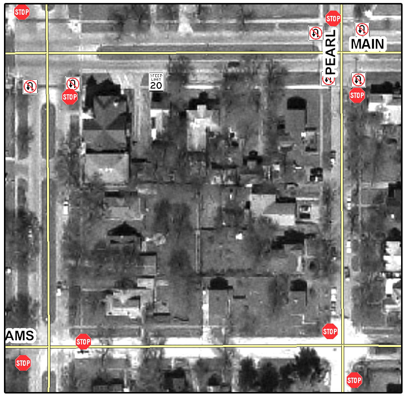
The Mason County Sign Inventory project is a cooperative effort between Mid-West GIS, Inc., Mason County Highway Department, the Illinois Department of Transportation, and eight of the nine cities and villages inside of Mason County, IL.
The project includes collecting GPS data and attribute information for all regulatory signs inside of Mason County. This information includes attributes such as location, type, condition, reflectivity, and other attributes. This inventory will then be converted into a report for the Illinois Department of Transportation, who will then evaluate the signs in Mason County.
Once the evaluation is complete, the Illinois Department of Transportation will provide new signs, poles, and hardware for all regulatory signs that are not up to code. The inventory located over 3,500 signs that need to be replaced at a cost of over $270,000. This project will save the county an estimated $225,000.
Contact Information:
Mike Pedigo, County Engineer
Mason County Highway Department