![]()
GPS Field Work
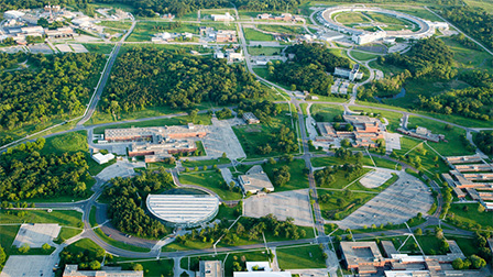
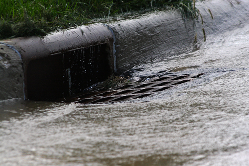
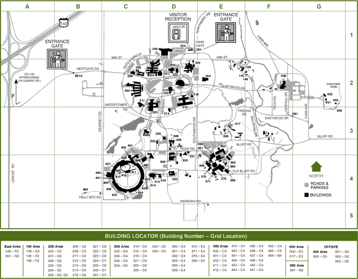
Mid-West GIS is continuing with the GPS field work for Argonne National Laboratory in Lemont, Illinois. Over the past 12 months Mid-West GIS has collected over 10,000 GPS points for utilities including Gas, Electric, Water, Sewer and Communications. This data will be incorporated into the Argonne GIS system and utilized for facility management and maintenance. Argonne is a science and engineering research center with a focus on energy innovations.
For more information on Mid-West GIS professional services please visit our services page.