Mid-West GIS has been collecting Traffic Sign Inventories since 2007. With over 500 clients nationwide, we have become one of the few companies in the United States to collect traffic sign data using GIS & GPS technology. This method of collection, and ensuing maintenance program meets and exceeds the mandates set forth by the Federal Highway Safety Administration.
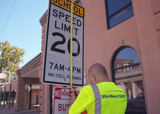
The process of collecting traffic sign data by Mid-West GIS involves the use of GPS data collectors. The Technician will approach the sign on foot, and using the GPS unit will collect a highly accurate GPS point at the base of the sign. This gives the positional location of the sign itself. This process doesn’t take long, as the GPS unit just needs to log the coordinates. Once the coordinates are stored then the Technician will proceed with collection of the attributes of the sign and support structure. Some companies have taken the approach of collection of the location of the sign using a moving vehicle. Mid-West GIS, as well as many other officials, have frowned on this type of data collection because the accuracy of the point is not good enough to pass our standards. Mid-West GIS Technicians actually collect each and every sign standing directly in front of it with a GPS unit.
Street Sign Inventory Attributes
The attributes that are collected vary from client to client, but we encourage our clients to collect as much data as possible associated with the sign and the support structure. Some of the more common attributes collected are: Sign Type (Stop, Yield, Speed Limit 30, etc.), Sign Size (18”x24”), Sheeting Material Type (DG3, HIP, etc.), Sign Condition (Good, Fair, Poor), Sign Color (Red & White, Green, etc.), Panel Material (Metal, PVC, Wood, etc.), Post Type (Wood, Square Steel, U Channel, etc.), Post Condition (Good, Fair, Poor), Direction Facing (North, South, East, West, Northeast, Southeast, Northwest, Southwest), Digital Photo (1234.JPG), and Date Collected. Other attributes can be collected as well. Some clients have stickers with install dates, manufacture dates, or sign numbers that can be documented as well. Again, the more attributes that can be collected during the initial collection phase the better.
Once the data has been collected the Technician will go over the attributes quickly to make sure all fields have been populated, then move on to the next sign. If there is another sign on the same post then the signs will be collected from the bottom sign to the top sign. This can be done one of two ways. The first and most popular is to add a new GPS point in the same location, then populate the attributes for the new point. If you have two signs on one post you would have two points in the same location. The other option is to have a longer attribute table and add the 2nd sign right after the first, so you have one point, with many more attributes. The first option makes database searches a lot easier, as you are searching one field in all of the points.
Quality Control
Once all of the signs have been collected for a client the data is put through two levels of Quality Control. The first is a visual inspection of the location of the signs. This is basically to make sure the signs line up on the aerial photography like they should. If a client has high resolution aerial photography a lot of times you can see the shadow of the post on the photo, and the GPS point should line up right at the base of the shadow. This ensures the positional accuracy of the point. The next phase is to do Quality Control on the database. This will go through every sign and every attribute and make sure all fields were properly collection and populated. It will identify and correct any typos during collection. Overall make sure the attribute data is complete and correct. Once the Quality Control is completed the data is ready for delivery to the client.

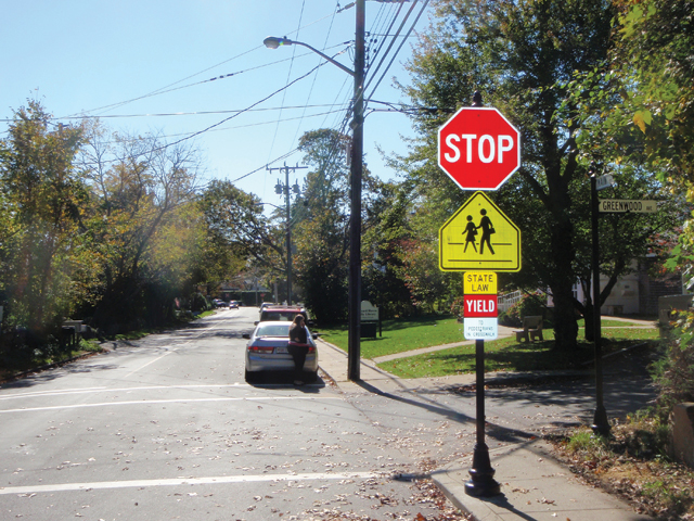 In 2015 there were over 40 million drivers over the age of 65 on the road, and those numbers continue to increase every year. It is estimated that over 90% of this demographic still travel by personal vehicle. So ensuring their safety, and the safety of others is a high priority.


 It took Mid-West GIS approximately three months to Collect, Quality Control, and deliver the data to the city. There were over 13,000 signs collected, and 22 different attributes documented. In addition, one digital photo was taken of the face of each sign and hyperlinked to the GPS point.



 Mid-West GIS continues to refine and improve data collection techniques to ensure the most accurate data possible is delivered to our clients. The field collection process for a traffic sign inventory involves the use of highly accurate GPS equipment to collect the coordinates of the traffic sign. The use of aerial photos is used for quality control of the location as well, by viewing the placement of the point in the field as it’s collected. Once the location is stored there are approximately 20 additional attributes that are collected to identify features of both the sign and the support structure. Some of the attributes collected are: Sign Type, MUTCD Code, Size, Sheeting Material Type, Sign Condition, Support Type, Support Condition, Digital Photo, and many others. Mid-West GIS also collects ALL signs in our projects, so that any sign on routes maintained by our clients are collected, giving the a complete and comprehensive traffic sign inventory.